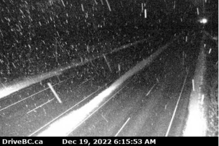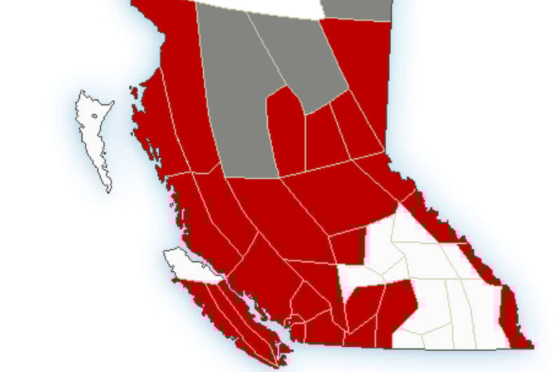
With an Arctic front chilling the air, Environment Canada issued a snowfall warning for most of Vancouver Island and the Lower Mainland early Monday (Dec. 19)
Snowfall of 10 to 15 cm is forecast starting tonight, with up to 20 cm possible for Victoria, according to Environment Canada.
⚠️Winter storm alert⚠️
— Emcon Services Inc. - South Island Division (@EmconSouthVI) December 19, 2022
Forecast: Monday-Tuesday, snowfall accumulation of 10 to 20 cm. Expect Winter driving condtions. #VictoriaBC #Malahat #SookeBC #MillbayBC #ShawiniganLakeBC #DuncanBC #LakeCowichan #GulfIslands #BCStorm #yyjtraffic #ShiftIntoWinter pic.twitter.com/ypg0lKy8Fq
A low-pressure system is expected to land in Washington State late Monday evening and could brush through the southern part of British Columbia giving another round of snow. Due to outflow winds, heavier snow is expected for Victoria, Malahat Highway, Southern Gulf Islands, Lake Cowichan, Port Renfrew, and East Vancouver Island from Duncan to Fanny Bay. Snow will taper off late Tuesday morning on Vancouver Island and Tuesday afternoon on the mainland.
READ ALSO: Snow settling down on Saanich Peninsula with more in the forecast for Greater Victoria
Do you have a story tip? Email: newsroom@oakbaynews.com.
Follow us on Twitter and Instagram, and like us on Facebook.