Bundle up and drive safely. Greater Victoria’s winter blast is far from over.
More snowfall is expected Sunday afternoon with five to 10 centimetres forecasted for Greater Victoria and the Malahat between Goldstream and Mill Bay.
While strong winds continue surging through coastal inlets, ingredients are lining up for the next snow event over the #SouthCoast on Sunday. #BCstorm https://t.co/TaoZeu65cF
— ECCC Weather British Columbia (@ECCCWeatherBC) February 10, 2019
The snow comes from a low pressure centre moving east inland onto southern Vancouver Island. It’s expected to taper off by Sunday evening.
Drivers are reminded to slow down and adjust their driving for the conditions. Winter tires and chains are required for the mountain pass.
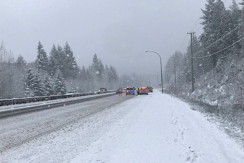
On Friday after more than five centimetres of snow fell in Victoria, Shawnigan Lake RCMP reported numerous crashes, spin outs and stalls on the Malahat.
More snow is expected today throughout #yyj. Please take extra time on our roads and be safe out there #yyjtraffic https://t.co/TlmnUQ9JfV
— Victoria Police (@vicpdcanada) February 10, 2019
Although we’re not used to it here, the Malahat is a mountain pass and like the rest of BC sudden winter conditions can take place - like right now. Please be prepared for travel and allow extra travel time as the contractor keeps the road plowed to provincial highway specs pic.twitter.com/XU3sMPK6Bt
— Van Island District (@TranBCVanIsle) February 8, 2019
RELATED: Conditions not safe on Malahat: RCMP
Snowfall on Friday and Saturday wreaked havoc across Greater Victoria, with wind knocking down trees and more than 15,000 residents left without power.
On Sunday morning a number of areas are still without power including some BC Hydro customers in Saanich, Cordova Bay, Colwood, Langford, Sidney and Sooke.
BC Hydro said challenging conditions have made it difficult to access some areas – impacting restoration times.
RELATED: Multiple municipalities warn of downed power lines
VIDEO: Dramatic footage of Langford tree on hydro lines, sparking and smoking
With files from Keri Coles and Shalu Mehta.
nina.grossman@blackpress.ca
Like us on Facebook and follow us on Twitter