The provincial government has asked British Columbians in Interior parts of the province to prepare for potential spring flooding this weekend as temperatures are expected to soar.
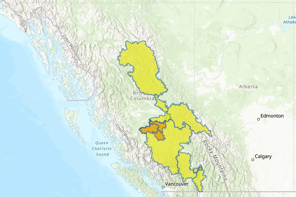
Areas with a higher risk of flooding include the Chilcotins, areas around Prince George, Quesnel, Williams Lake, Cache Creek and across the central Interior, as well as smaller watersheds in the Okanagan and Boundary, according to a bulletin from Ministry of Emergency Management and Climate Readiness issued Friday (April 28).
These areas include the territories of the Tsilhqot’in, Lheidli-T’enneh, Nazko, Xatsull, Bonaparte, Skeetchestn, Lhoosk’uz Dene and Williams Lake (T’exelc) First Nations.
“The River Forecast Centre will monitor the situation and remains vigilant, watching for potential transitions to wet or warm weather that could contribute to an increased flood hazard,” it reads. “Advisories will be updated when appropriate. The ministry will continue its regular co-ordination with communities to ensure they have the support and resources they need.”
The ministry stressed that the higher temperatures won’t cause significant run-off at higher elevations.
“At this time, forecasters are not anticipating a flood hazard over this current warming period for rivers lying in higher elevations, including larger rivers such as the Fraser River,” it reads.
But the warming weather is expected to destabilize the snowpack, resulting in dangerous and destructive avalanches. A special public avalanche warning for Western Canada remains in effect until the end of Monday, May 1.
All backcountry users are asked to leave what the ministry called a “wide margin for error” during this warming period in sticking to simple, low-angle terrain and avoiding all overhead avalanche hazards.
“First Nations and local governments will often have the most up-to-date information,” it reads. “Visit their websites and follow their social media accounts. Always listen to directions from local officials. Flood-risk information and active evacuation alerts and orders can be found at emergencyinfobc.ca or @emergencyinfoBC on Twitter.”
The ministry is asking residents living in low-lying areas with flooding potential to prepare by moving equipment and other objects to higher ground.
“Clear perimeter drains, eavestroughs and gutters,” it reads. Residents needing sandbags to protect their home should contact local government, it adds.
Residents are also asked to create grab-and-go bags carrying essentials for each household member in case of evacuation.
In case of flooding, avoid river banks, flooded areas and bridges.
“Do not drive through flood water,” it reads. “Never attempt to drive or walk in flood water. Just 15 centimetres (six inches) of fast-moving water can knock over an adult. Sixty-one centimetres (two feet) of rushing water can carry away most vehicles, including SUVs and pickup trucks.”
Residents should also identify friends and family, where they might able to stay in case of evacuation.
“By doing this, you are helping ensure local accommodation is available for those who have no other option,” it reads.
For more information, consult PreparedBC Flood Preparedness Guide.
READ MORE: B.C. communities warned to prepare for flooding when rain hits drought-ridden areas
READ MORE: Now is the time to prepare for potential Fraser River flooding, says FVRD
@wolfgangdepner
wolfgang.depner@blackpress.ca
Like us on Facebook and follow us on Twitter.