The District of Saanich launches a new public service map – SaanichMap – on Monday morning.
Our new public map service SaanichMap will launch on November 4. Starting at noon Friday, November 1 and over the weekend of November 2 and 3, the Saanich GIS Map web services will be unavailable while we complete our final work to upgrade to the new system. #Saanich pic.twitter.com/TkeEkIDGLz
— District of Saanich (@saanich) October 31, 2019
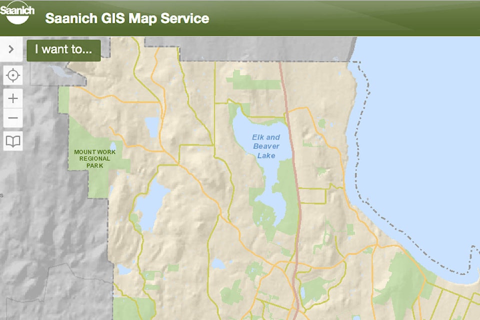
The District’s IT staff have been working to upgrade the public service map for several months. The upgraded map’s technology will make it more compatible for users and includes several new features.
The full-feature map has various layers for viewers to see parks and trails, transportation lines, sewer infrastructure and detailed information about properties and historical sites. Users can also compare current aerial photos to ones dating back to 1997 to see how Saanich’s neighbourhoods have changed.
READ ALSO: Tips to prepare for and adjust faster to this weekend’s time change
The District has also provided a “light” version of the map for folks using smartphones and tablets.
In order to install the new SaanichMap, the Saanich GIS Map service is offline from noon on Nov. 1 to the morning of Nov. 4.
Once the upgrades have been added, a how-to guide will be posted so users can get acquainted with the new service. A series of frequently asked questions will also be posted along with answers to help users.
@devonscarlett
Like us on Facebook and follow us on Twitter.